Orbital intelligence
driving real-world impact across domains
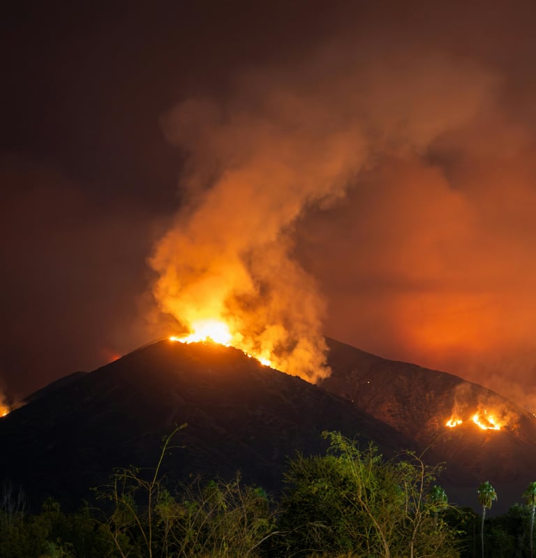
Proactive Natural Disaster Detection
Enable real-time disaster detection aiming to identify critical events, in real-time.
Reduce false positives by leveraging edge-based intelligence.
Prioritize and compress mission-critical data onboard, ensuring that only the most urgent insights are downlinked, optimizing bandwidth and accelerating ground response.
Geo-tag anomalies by location and severity, providing ground teams with immediate, actionable maps to support emergency planning and coordination.
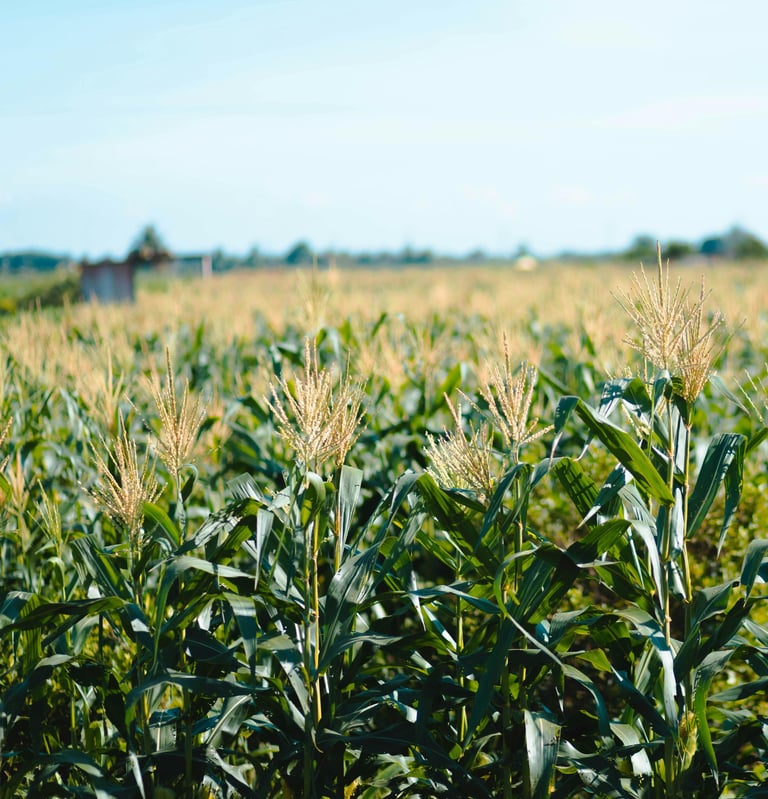
Agriculture
Deliver localized, high-frequency insights to support precise decision-making across varied terrains and mission types.
Autonomously detect and classify surface features and changes over time, reducing dependence on ground-based analysis.
Process data onboard to identify early-stage anomalies and subtle shifts, enabling faster, in-mission response.
Identify stress conditions and environmental variability, enabling timely intervention and optimized resource use.
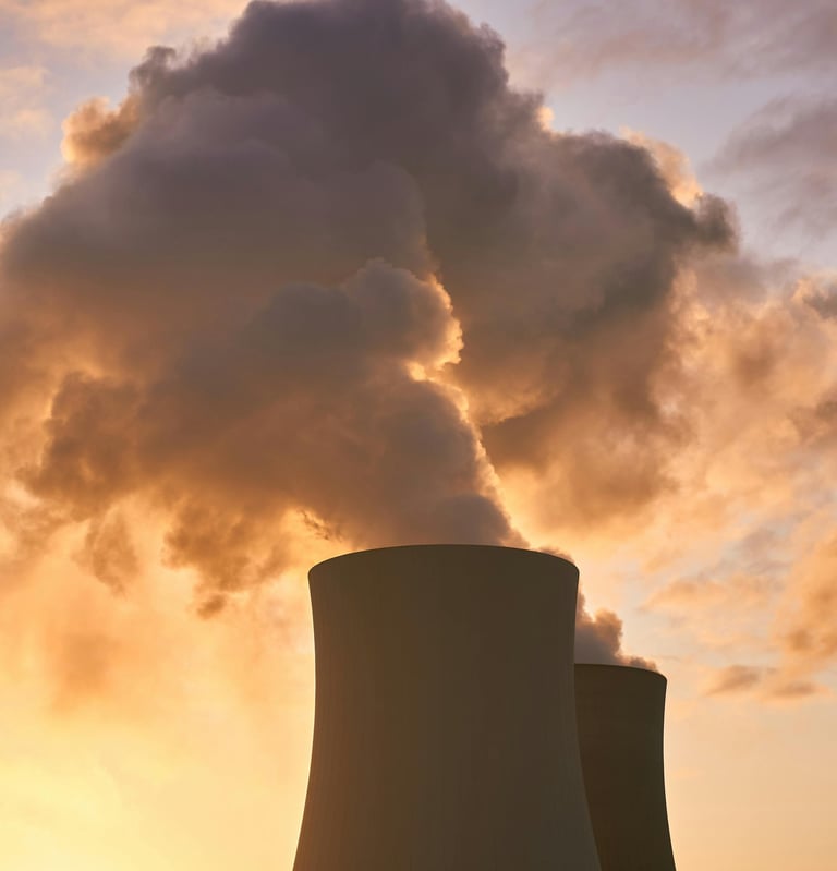
Greenhouse Gases Emission Monitoring
Detect emission from industrial, agricultural, and urban point sources in real time.
Track emission patterns over time from high-risk zones such as landfills, factory clusters, farms, and transport corridors.
Identify anomalies in carbon flux and long-term emission behaviour.
Provide timely alerts to operators and authorities for unusual emission events, supporting faster investigation and informed action.
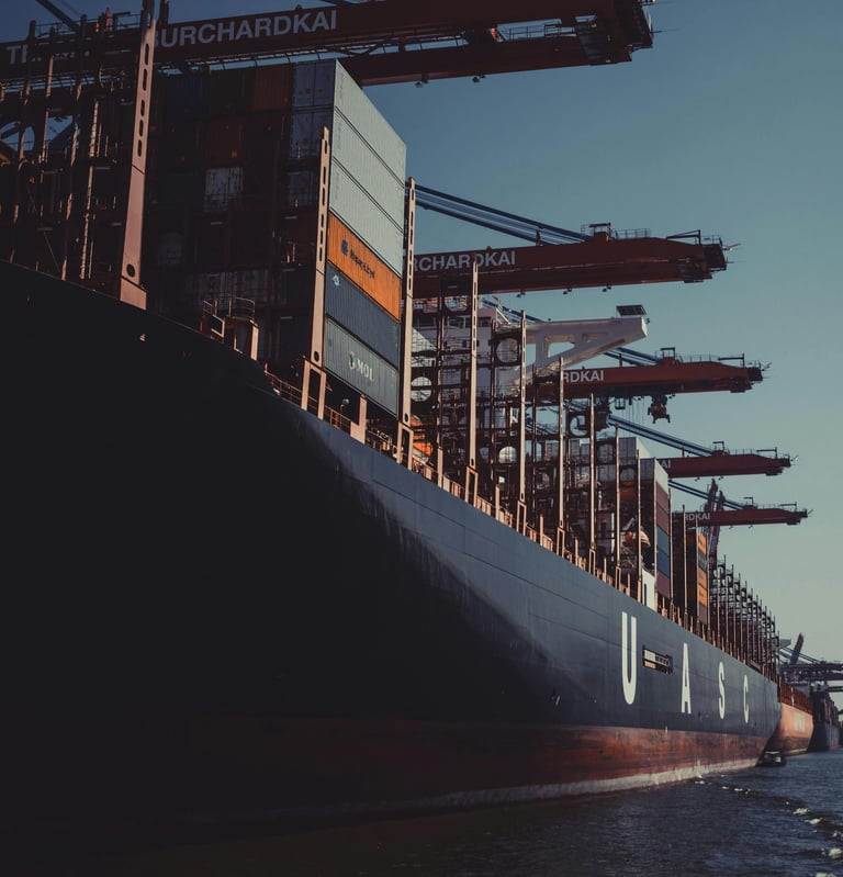
Maritime & Military Applications
Classify vessel types, to enhance situational awareness.
Track illicit maritime activity such as illegal fishing, smuggling, and piracy through behaviour-aware monitoring and selective, prioritized downlinking.
Ensure 24/7, all-weather surveillance for persistent maritime domain coverage, regardless of cloud cover or lighting.
Flag anomalies autonomously, including unauthorized loitering, route deviations, or proximity to sensitive zones.
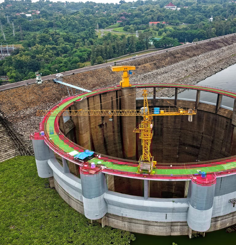
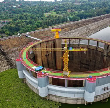
Precision Infrastructure Monitoring
Monitor critical infrastructure such as roads, bridges, railways, and pipelines for structural wear, land shifts, and unauthorized encroachment.
Track construction progress automatically, comparing real-time imagery to planned layouts and schedules.
Flag unauthorized development and urban sprawl.
Identify vegetation encroachment near transmission lines, railways, and pipelines to support early maintenance and reduce disaster risk
Measure key environmental indicators.
Adapt observation strategies mid-mission, automatically adjusting unexpected behaviors.
Apply science-aware compression, transmitting only key changes, transitions, or summary metrics to reduce bandwidth usage while preserving mission-critical insights.
Capture and flag subtle physical changes, relevant to Earth observation and geospatial intelligence.